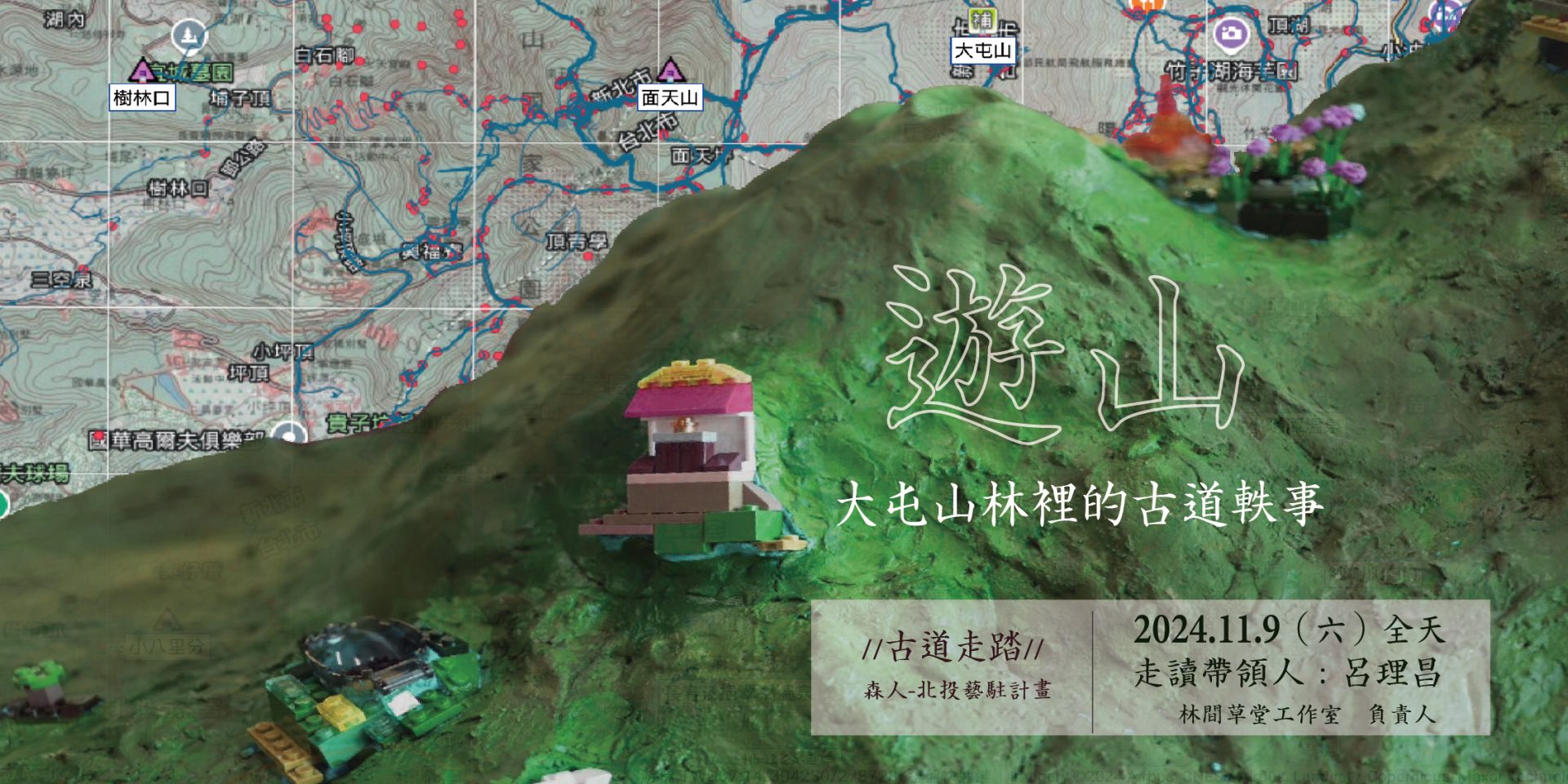
古道走踏|遊山:大屯山林裡的古道軼事
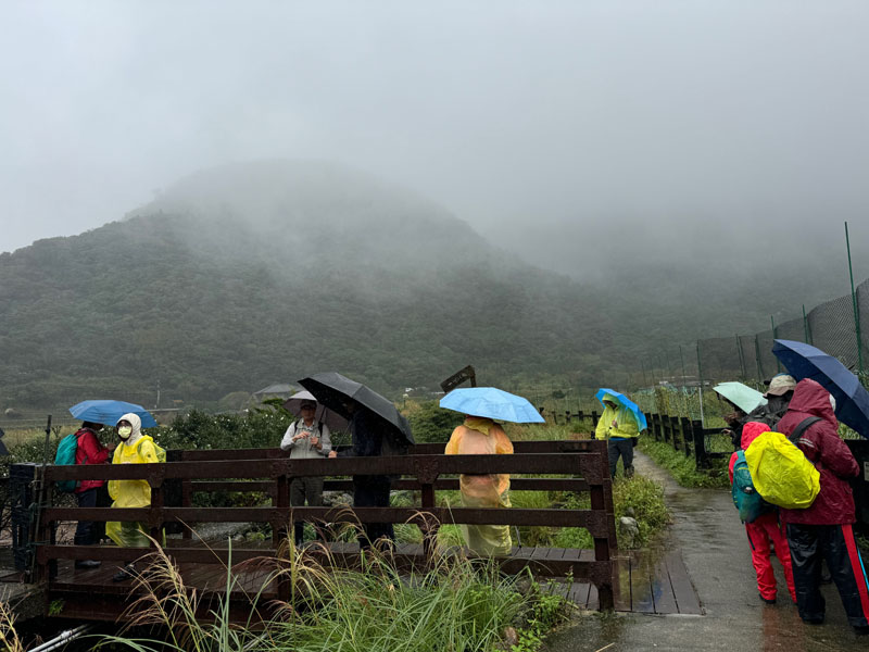
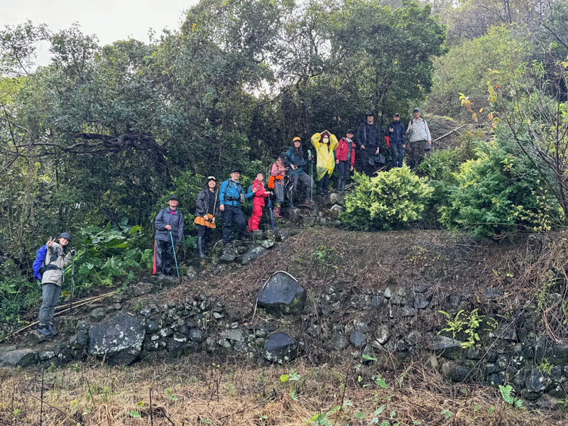
大屯山是草山重要的山系之一,這塊山林曾是凱達格蘭族仰賴的山林,他們林間狩獵,他們喜居住海拔約100-200公尺左右位置,近水,土地卻不濕爛,往山上的向天山是傳說中的聖山。清領時期開始,越來越多漢人渡海來台,不少人看中這塊山丘陵地,於是和原住民承租土地、開墾。從我們熟悉竹子湖開始,除曾經是早期種植旱稻之地外,也是重要的茶葉產地,1870年美國商人愛德華.格里(Greey Edward)曾拍攝大屯山一景,拍下滿山的茶園、些許茶寮和茶農。漢人向原住民的土地交易從北投十八份的地契中,也可以看到漢人開墾的脈絡,大屯山的墾拓,凱達格蘭族人的生活、價值觀和文化,一步步被改變,這些時代的印記,在古道裡都能探究一二。
Datun Mountain is one of the important mountain systems of Tsháu-suann. This forested area was once vital to the Ketagalan people, who relied on it for hunting. They preferred living at altitudes of around 100-200 meters, near water sources, where the land was moist but not swampy. The sacred Xiangtian Mountain, located further up, is shrouded in legend.
During the Qing Dynasty, increasing numbers of Han settlers crossed the sea to Taiwan. Many saw the potential of this hilly region and began leasing land from the indigenous people to cultivate it. The area we now know as Zhuzihu was once an early site for dry rice farming and later became a significant tea-producing region. In 1870, American merchant Edward Greey photographed a scene of Datun Mountain, capturing tea plantations covering the slopes, along with scattered tea houses and farmers.
The Han people’s land transactions with the indigenous population can also be traced through historical documents, such as the land deeds from Shibafen in Beitou. These records reveal the patterns of Han settlement and cultivation. Over time, the Ketagalan people’s way of life, values, and culture were gradually transformed. Traces of these historical changes can still be explored along the ancient trails of Datun Mountain.
—
圖像來源|
地圖來源:台灣堡圖1904,台北市百年歷史地圖網站
照片:「流.硫.留」地景模型,森人團隊製作
執行團隊|森人
贊助單位|臺北市政府文化局