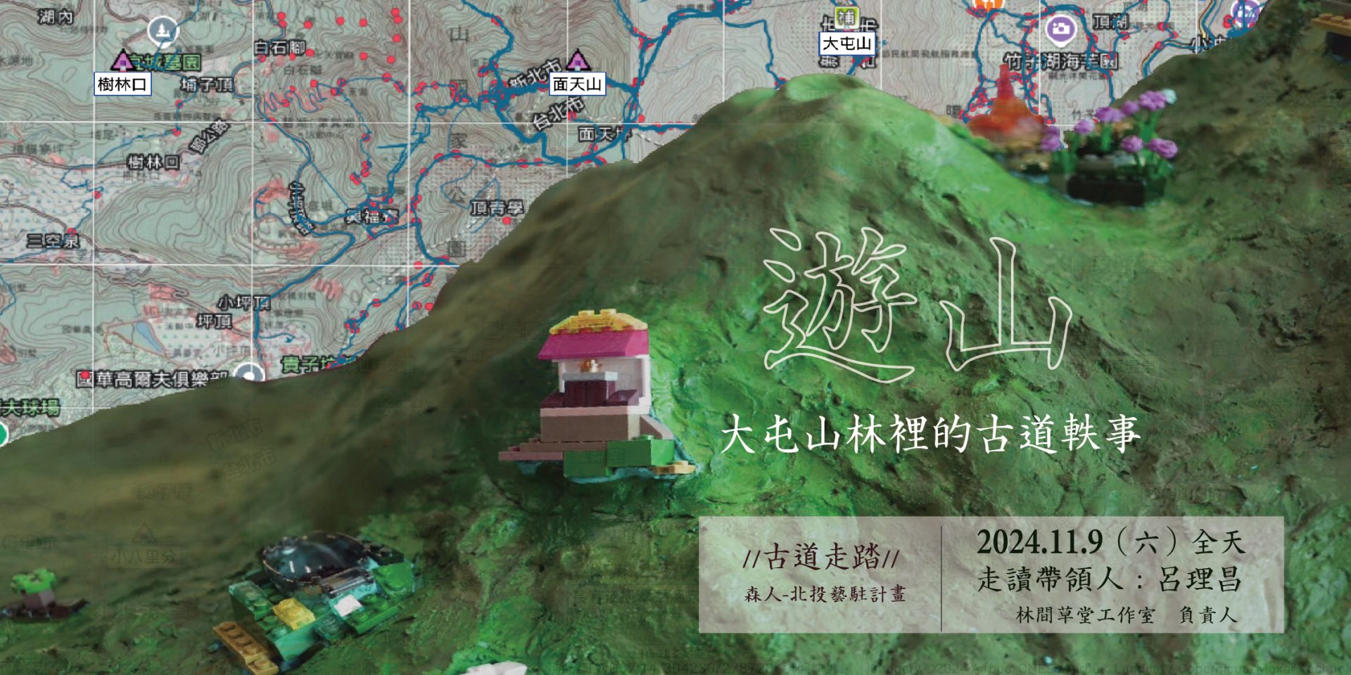
Walking the ancient roads | Mountain travel: anecdotes about the ancient roads in Datun Mountains and Forests
Datun Mountain is one of the important mountain systems of Tsháu-suann. This forested area was once vital to the Ketagalan people, who relied on it for hunting. They preferred living at altitudes of around 100-200 meters, near water sources, where the land was moist but not swampy. The sacred Xiangtian Mountain, located further up, is shrouded in legend.
During the Qing Dynasty, increasing numbers of Han settlers crossed the sea to Taiwan. Many saw the potential of this hilly region and began leasing land from the indigenous people to cultivate it. The area we now know as Zhuzihu was once an early site for dry rice farming and later became a significant tea-producing region. In 1870, American merchant Edward Greey photographed a scene of Datun Mountain, capturing tea plantations covering the slopes, along with scattered tea houses and farmers.
The Han people’s land transactions with the indigenous population can also be traced through historical documents, such as the land deeds from Shibafen in Beitou. These records reveal the patterns of Han settlement and cultivation. Over time, the Ketagalan people’s way of life, values, and culture were gradually transformed. Traces of these historical changes can still be explored along the ancient trails of Datun Mountain.
Image source |
Map source: Taiwan Fort Map 1904, Taipei City Centenary Historical Map Website
Photo: “Flow, Sulfur, Remain” landscape model, produced by the Morito team
Executive Team|Senren
Sponsor|Cultural Affairs Bureau of Taipei City Government

